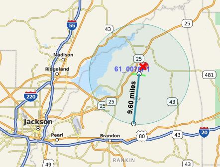
MapClick is a mapping application that is integrated into the MOVE framework. All location information is provided by MDOT. MapClick allows officers to pinpoint location and create a radius around that point.
Users can click a spot on the map and be provided with information on the nearest location, the GPS coordinates, and an address. The user can populate this information into the various MOVE applications.
MapClick works independently, with an internet connection, or when paired with a GPS device:
- independently: using location information stored within the program
- internet connection: adds real-time location information from Google
- GPS device: enables tracking, which shows the user's car on the map and saves the current location
MapClick has a few key features, including:
- Track User Movement on the Map
- Save Current Location
- Multiple Map Layers
- Radius Measure Tool
- Day or Night Mode

